Log in
All resources
Create a design
18 Free Artworks of 1700s Maps Of Europe
bibliothèque nationale de france
maps by pieter mortier
maps by pieter schenk (i)
map of europe by guillaume delisle (1700)
atlantis magni tomus quintus (biblioteca comunale di trento)
maps made in the 17th century
1700 maps of the atlantic ocean
lawrence h. slaughter collection of english maps, charts, globes, books and atlases
maps in the rijksmuseum amsterdam
french-language maps
maps by frederick de wit
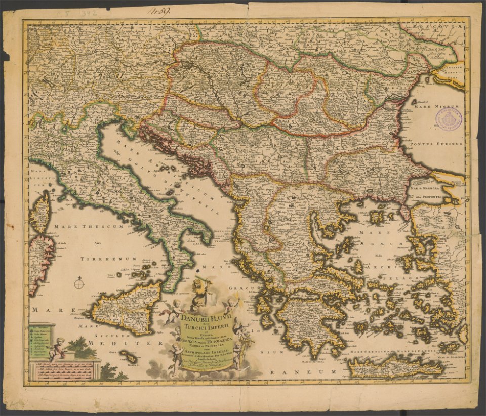
old maps of the balkans
atlantis magni tomus quintus (biblioteca comunale di trento)
maps made in the 18th century
maps made in the 17th century
1700 maps of lithuania
map of europe by guillaume delisle (1700)
1789 maps of europe
1700s maps of the ottoman empire
maps made in the 17th century
maps in the library of congress
1769 maps of europe
map of the circle of the rhineland by sanson
1700s maps of rhineland-palatinate
lawrence h. slaughter collection of english maps, charts, globes, books and atlases
1700 maps of the atlantic ocean
lawrence h. slaughter collection of english maps, charts, globes, books and atlases
1700 maps of the atlantic ocean
1700s maps of the tsardom of russia
1700s maps of eastern europe
maps by pieter mortier
maps from gallica
maps in the rijksmuseum amsterdam
old maps of the ottoman empire
french-language maps
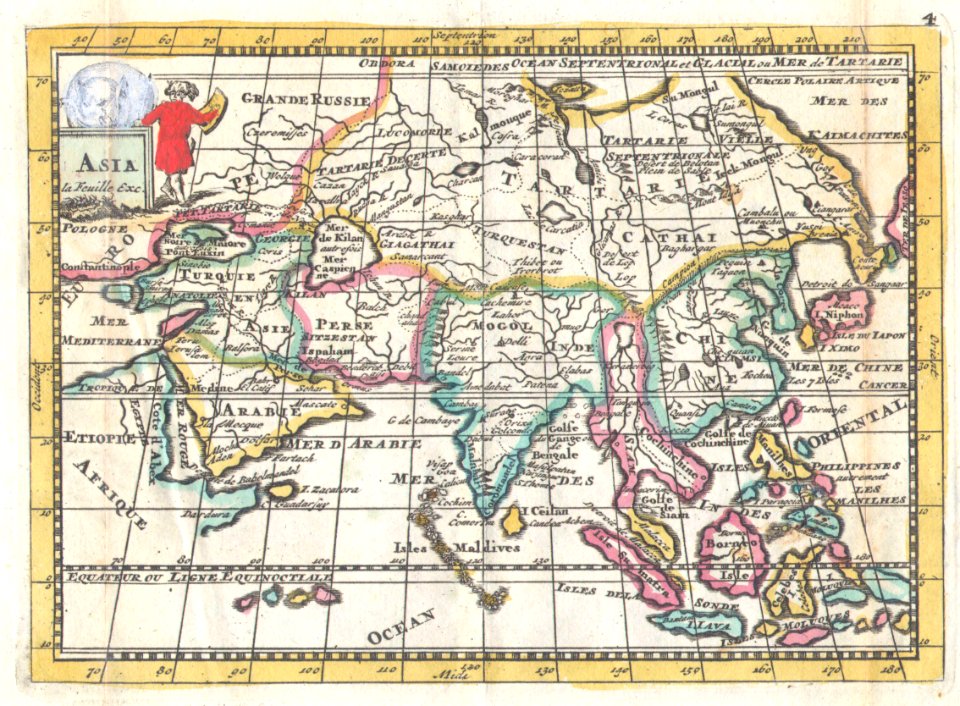
1706 maps of asia
atlas géographique des quatre parties du monde (delisle)
map of europe by guillaume delisle (1700)
french-language maps
daniel de la feuille
maps by pieter mortier
le neptune francois
le neptune francois
jan van vianen
maps in the rijksmuseum amsterdam
works after adriaen van de velde
1 - 18 of 18
/ 1


![Atlantic Ocean or North Sea Where the Route from Europe [sic] to the East Indies and from the West Indies to Europe are exactly observed, Drawn up on the most recent Relations, 1700](https://cdn.creazilla.com/illustrations/10001005747/atlantic-ocean-or-north-sea-where-the-route-from-europe-sic-to-the-east-indies-and-from-the-west-indies-to-europe-are-exactly-observed-drawn-up-on-the-most-recent-relations-1700-md.jpg)